Today we work with over 50 public agencies, water utilities, and agriculture organizations across the U.S. Here’s just a snapshot of a few of these projects and what we’re learning.
See how Wellntel WMS provides everything that is necessary to collect water data across the entire state, analyze the data, and share conclusions with citizens.
See how Wellntel WMS helps the District monitor and conserve water with documented evidence and non-scientific water consumption jargon easy to understand.
Yolo County Flood Control & Water Conservation District
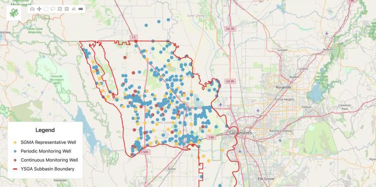
See how Wellntel WMS helped the District better understand its water resource dynamics and achieve greater spatial and temporal data density as its population grew.
See how Wellntel WMS helped the Village gain real-time groundwater monitoring at over 30 stations - vs. sending a former professor to each station a few times a year – and 97% confidence in future water resource planning.
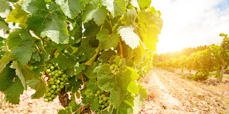
See how Wellntel WMS helped this vineyard gain real-time well water insight to ensure optimal irrigation without emptying the well and to identify trends and understand water level behaviors and their causes.
See how Wellntel WMS helps this 5,000-head dairy farm avoid disaster by gaining real-time water supply data and alerts enabling proactive operational changes as water levels fluctuate.